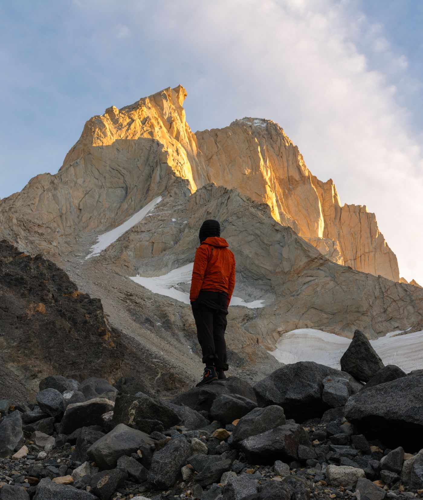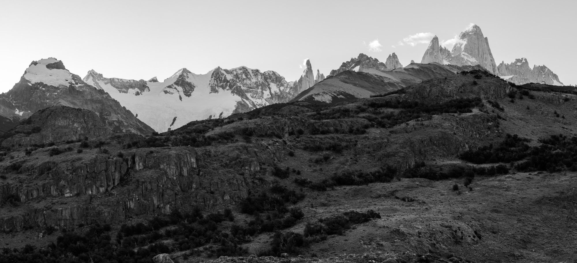
The Vuelta al Huemul is one of the most special treks in the world, and I don’t say that lightly: 4 days, about 58 km, more than 2,400 m of elevation gain, two crossings of the Río Túnel and a mountain pass where the Southern Patagonian Icefield suddenly appears, whole, right in front of you; that is what makes it so special. From forests, rivers and huge glaciers to the steppe. Faint trails, wild campsites and very few people.
This guide is what I tell anyone who asks me whether they can do it on their own: what to bring, how to read the forecast and which parts are the hardest.
How many days
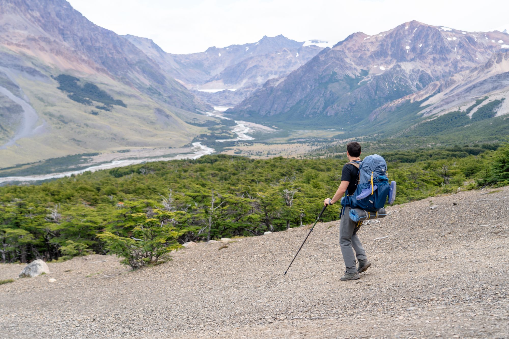
The usual is 4 days and 3 nights. If you have time, add a fifth spare day: wind on Paso del Viento or a swollen river can force you to wait, and waiting with food is much better than rushing without it.
Day 2 is the longest and most exposed. Day 3 is deceptive: it is almost all flat until the climb to Paso Huemul begins, and the descent on the other side is steep and punishes your knees with a full pack (for some people it is the hardest part).
Registration and permits
Registering with the National Parks is mandatory and it is not a formality. Before setting out you register (online or at the Visitor Centre), and the rangers may ask to see your gear for the zip-line crossings. Without that gear they won’t let you go.
- Trekking registration. Mandatory, with itinerary, dates and an emergency contact.
- Park entrance. The northern zone of Los Glaciares National Park charges an entry fee, paid online through the APN ticketing system. Check the current fee before you travel. ventaweb.apn.gob.ar (tickets can also be bought at the trailhead).
- Return transfer. Arrange it before you leave. On day 4 you finish at Bahía Túnel and there is no signal to sort it out there.
Gear
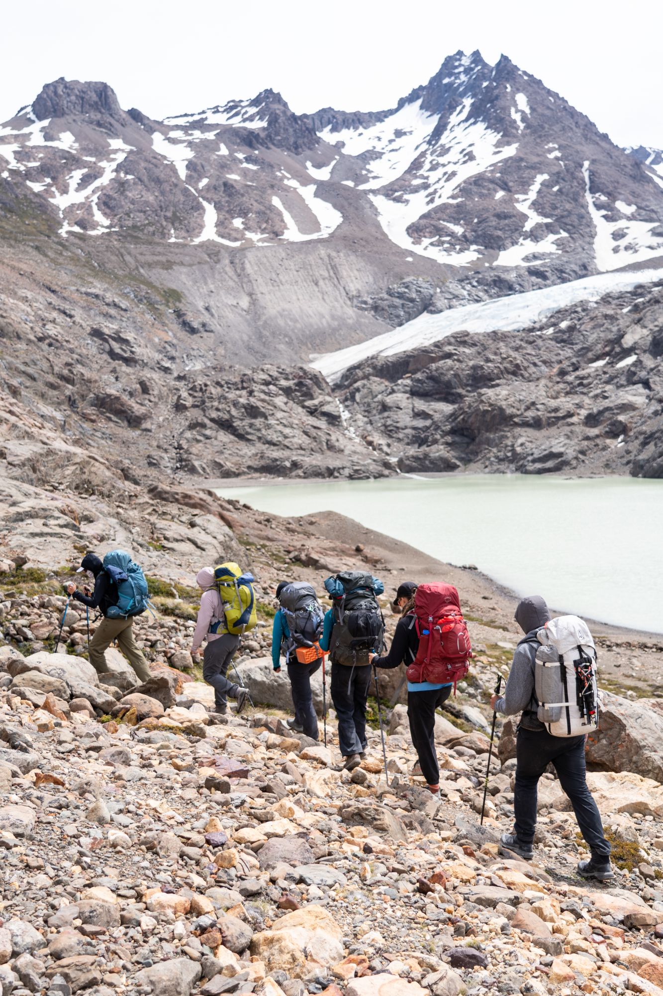
Your pack will weigh between 15 and 20 kg at the start. Anything that isn’t essential stays in town. The lighter we go, the less effort it takes and the faster we can move. In Patagonia, being able to move fast often means safety.
Mandatory technical gear (per person)
- Harness
- Two locking carabiners, one of them steel for the zip-line cable
- 120 cm sewn sling to clip yourself in
- 30–35 m cord to retrieve the pulley (one per group is enough, but they may still ask you for one)
Camping
- A tent that can handle strong wind, with good stakes and extra guylines
- Sleeping bag with a comfort rating of 0 °C or lower
- Sleeping pad
- Stove, fuel and pot
- Water filter or tablets (there is water along almost the whole route).
- Food for 4 days plus one spare day
Clothing
- A properly waterproof jacket and trousers, not windbreakers
- Thermal base layer, fleece and a down or synthetic jacket
- Hat, thin gloves and waterproof gloves
- Broken-in hiking boots (don’t take new ones) and shoes for river fords and resting at camp
Navigation and safety
- GPS track downloaded to your phone and a power bank
- First-aid kit and emergency blanket
- Trekking poles: on the Huemul they are worth their weight in gold, especially on the fords and the descent from Paso Huemul
Where to rent gear
Several mountain shops in El Chaltén rent the zip-line kit (harness, carabiners, sling, cord) as well as tents, sleeping bags, pads and stoves. In January and February it is worth booking one or two days ahead, because harnesses run out.
The shop with the most gear is Viento Oeste.

How to read the forecast
What matters most on the Huemul is the wind on days 2 and 3, when you cross Paso del Viento (Wind Pass). The name isn’t poetic. The rest (rain, cold) you can handle with good clothing; strong wind on the pass, you can’t.
- Look at several models, not one app. I compare Windy (ECMWF and GFS), meteoblue and Windguru. If they agree, you can trust them.
- Check the wind at altitude, not in town. It can be calm in El Chaltén and blowing twice as hard at 1,400 m. Look at the forecast for 1,500 m or for a point near the pass.
- Plan days 2 and 3 around the weather window. If you have to wait, wait at Laguna Toro, not on the pass.
For much of days 2 and 3 we are in a very remote area, where any incident can turn into an emergency.
The best season is November to March. January and February are the busiest, but they usually bring the best conditions: longer days, less cold and a well-marked trail.
The technical challenges
None of it is climbing, but don’t underestimate it.
The Río Túnel zip-lines. There are two river crossings. Hanging from the cable over fast-flowing meltwater is intimidating the first time. The typical mistake is reaching the other side with no way to retrieve the pulley, or crossing with your pack badly clipped. A mistake here can have serious consequences, so this shouldn’t be the first time you do this kind of manoeuvre. If you have never worn a harness, you may be better off going with a guide or with someone whose experience you trust.
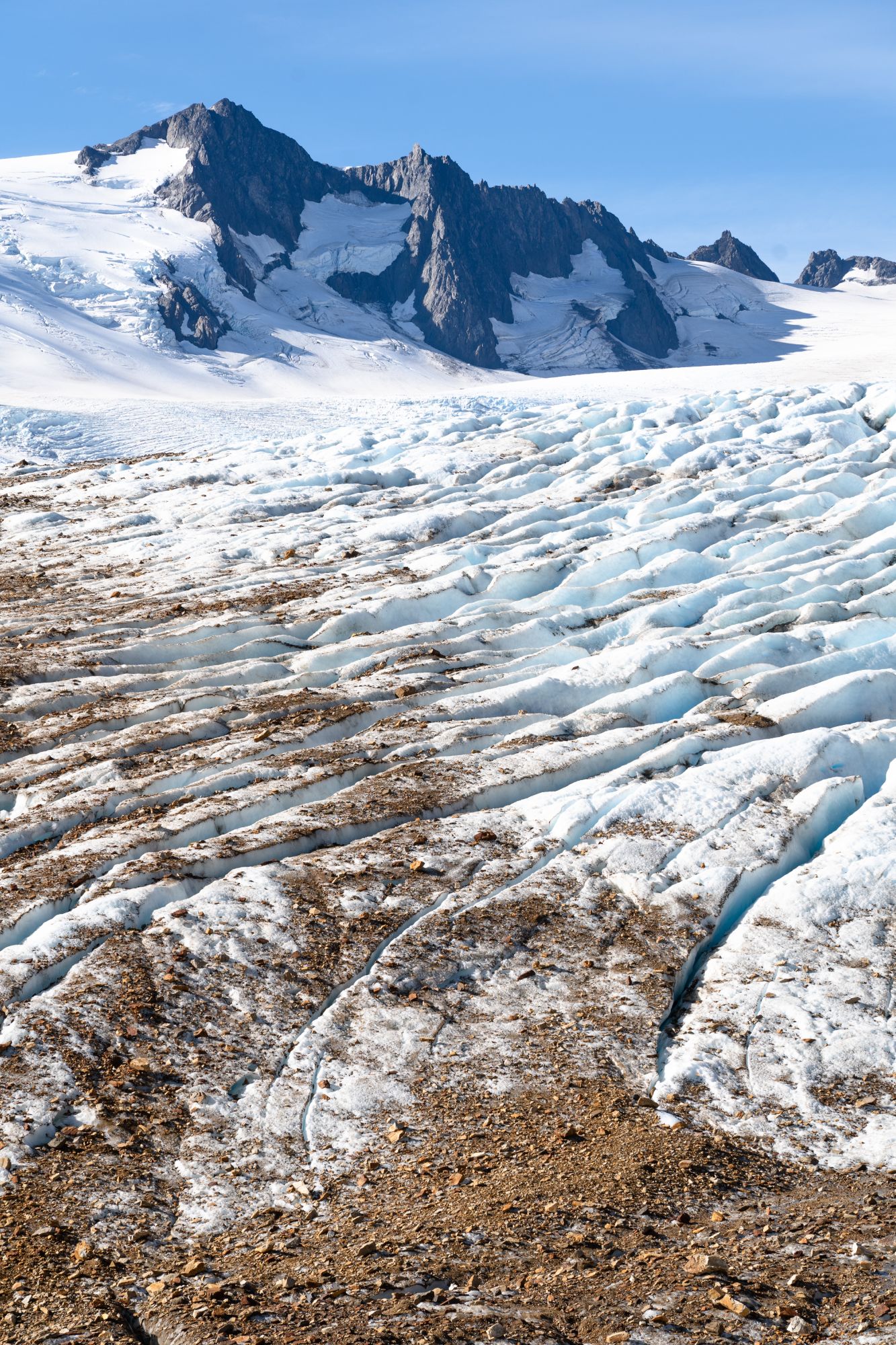
Glaciar Túnel. On day 2, after crossing the Río Túnel, the trail climbs the slope and at some point the Túnel glacier comes into view. Getting to it can be a real technical challenge. The trail isn’t always well marked, especially early in the season, and the ground can be steep with a lot of loose rock. Once we reach the glacier we can walk on it or continue along the lateral moraine.
River fords. There may be a few fords, depending on the time of season and recent rain. Some advice: unbuckle your pack’s hip belt, use poles and look for the wide, open part of the river, not the narrow one.
Paso del Viento. Loose moraine, sections with no clear trail and full exposure to the wind. In strong gusts it is hard to stay on your feet.
Navigation. There are sections where the trail disappears among rocks and moraines. In fog it is very easy to go off course. Carry the downloaded track and check it often, not only when you are unsure.
The descent from Paso Huemul. Steep, with loose dirt and a pack that is still heavy. This is the most underestimated section. The trail is badly eroded and really steep; in mud it can be almost impossible not to fall. There are some fixed ropes: always check them before using them, since nobody monitors their condition and there is no protocol for replacing them.

Tips and advice
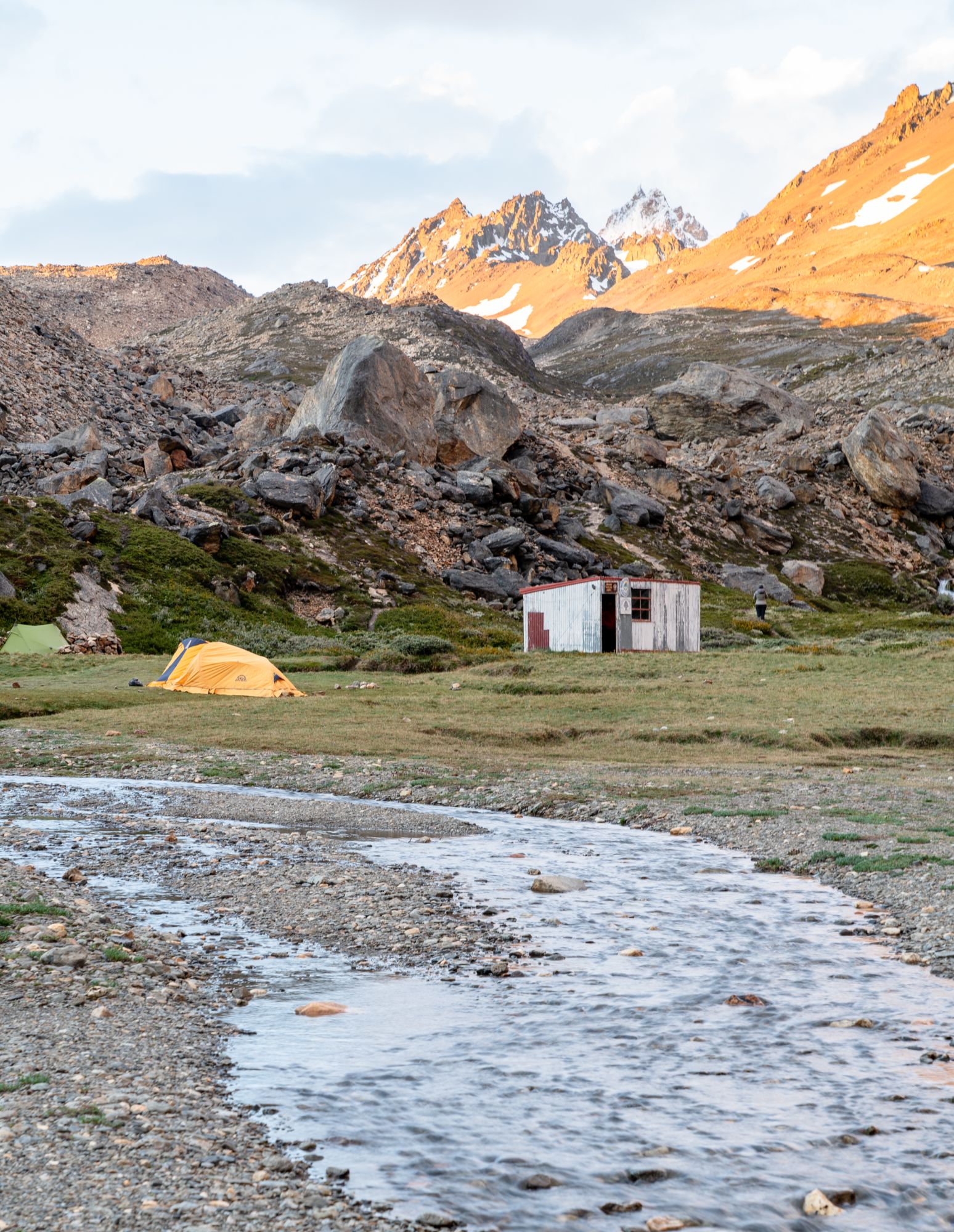
- Refugio Paso del Viento is not a hut to sleep in. It is a rustic shelter for cooking; you sleep in tents around it.
- Pitch your tent for the wind, not the view. Look for shelter behind rocks or shrubs and weigh the stakes down with stones. Keep the guylines taut.
- Keep dry clothes. Put both your spare clothes and your sleeping bag inside heavy-duty rubbish bags, so they stay dry even if the rain catches us.
- Take all your rubbish with you. It is a fragile environment and there are no rubbish collections. Sanitary waste leaves with us too.
- There are mice at every campsite. They aren’t dangerous, but be careful with your food. Store it well.
- Water. There is water along the whole route. On days 1 and 4 you need to be careful because there is livestock around. Take care near the campsites too.
- Toilets. There are no toilets at any point. To defecate, dig a 20 cm hole in the ground and cover it afterwards, far from any water source, and the paper comes back with you.

On your own or with a guide?
Plenty of people do it without a guide, and that’s fine. If you have already done multi-day treks with a tent, can navigate with GPS and know how to do the zip-line crossing, you can.
If it’s your first long trek, if you have never used a harness, or if you’d rather spend your time looking around than solving problems, that’s where I come in: I provide the technical gear, tents and food, handle the crossings and read the weather to choose the day. You walk. See the guided Vuelta al Huemul or write to me and we’ll talk.
For any other questions you can contact me or use the Planner, which recommends what to do during your stay in El Chaltén.